Mapping the Ottomans
with Palmira Brummett
hosted by Chris Gratien
Podcast Feed | iTunes | Hipcast | Soundcloud
Where did the Ottomans fit within the geographical understandings of Christian kingdoms in early modern Europe? How did Europeans reconcile the notion of "the Turk" as other with the reality of an Ottoman presence in the Balkans and Eastern Europe? What was the relationship between the maps and representations of Ottoman space in Europe and the self-mapping carried out by the Ottomans in maps and miniatures? These are some of the major questions addressed by our guest Palmira Brummett in her new book Mapping the Ottomans, which uses maps to study early modern space and time, travel, the flow of information, claims to sovereignty, and cross-cultural encounters between the Ottomans neighboring Christian polities.
Stream via Soundcloud (US / preferred)
Stream via Hipcast (Turkey / Türkiye)
Stream via Soundcloud (US / preferred)
Stream via Hipcast (Turkey / Türkiye)
PARTICIPANTS
 |
Palmira Brummett is Professor Emerita of History at the University of Tennessee and Visiting Professor of History at Brown University. Her work assesses the rhetorics of cross-cultural interaction in the Ottoman and Mediterranean worlds. She is the author of many publications, including Ottoman Seapower and Levantine Diplomacy in the Age of Discovery (1994), Image and Imperialism in the Ottoman Revolutionary Press (2000) and Mapping the Ottomans (2016).
|
 |
Chris Gratien holds a Ph.D. from Georgetown University's Department of History. His research focuses on the social and environmental history of the Ottoman Empire and the modern Middle East. He is currently preparing a monograph about the environmental history of the Cilicia region from the 1850s until the 1950s.
|
CREDITS
Episode No. 221
Release Date: 23 January 2016
Recording Location: Providence, RI
Editing and production by Chris Gratien
Sound excerpts: Harmandali - Recep Efendi, Cemal Efendi; Baglamamin Dugumu - Necmiye Ararat and Muzaffer; Istanbul'dan Ayva Gelir Nar Gelir - Azize Tozem and Sari Recep; Karaköy Balık Pazarı (recorded by Chris Gratien)
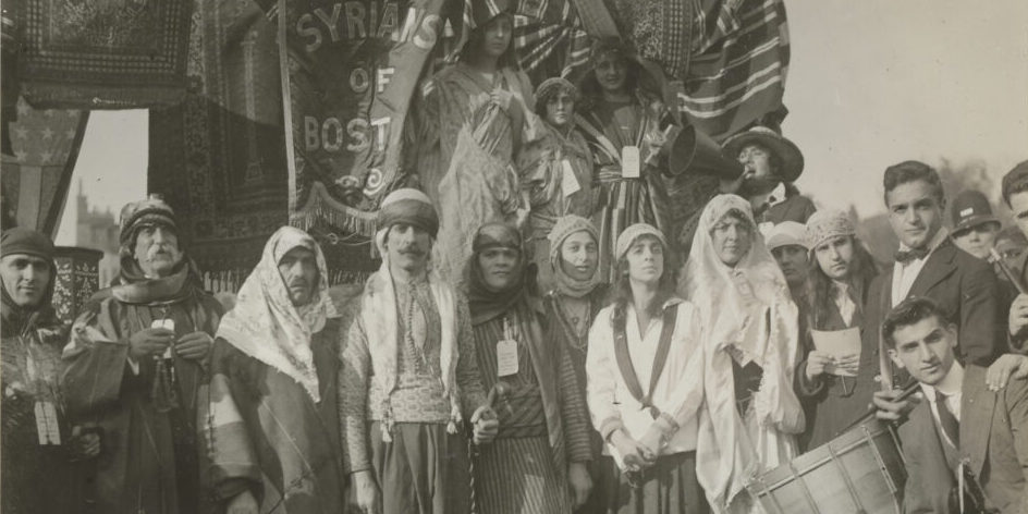
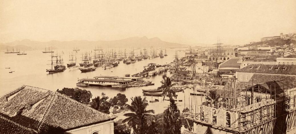
Images via Historic Cities, Library of Congress, Travelogues, Wikipedia, Central National Library of Florence, and Indiana University
Additional thanks to Emily Neumeier
SELECT BIBLIOGRAPHY
 |
| Palmira Brummett, Mapping the Ottomans (Cambridge University Press, 2015) |
Brummett, Palmira Johnson. Mapping the Ottomans: Sovereignty, Territory, and Identity in the Early Modern Mediterranean. New York: Cambridge University Press, 2015.
Dankoff, Robert. An Ottoman Mentality The World of Evliya Çelebi. Leiden: Brill, 2006.
Emiralioğlu, M. Pinar. Geographical Knowledge and Imperial Culture in the Early Modern Ottoman Empire. 2014.
Fetvacı, Emine. Picturing History at the Ottoman Court. Bloomington & Indianapolis: Indiana University Press, 2013.
Goodrich, Thomas D. Atlas-i Hümayun: A Sixteenth-Century Ottoman Maritime Atlas Discovered in 1984. Wiesbaden: [s.n.], 1987.
______. The Ottoman Turks and the New World: A Study of Tarih-i Hind-i Garbi and Sixteenth-Century Ottoman Americana. Wiesbaden: O. Harrassowitz, 1990.
Hagen, Gottfried, Baki Tezcan, and Thomas D. Goodrich. Other places: Ottomans traveling, seeing, writing, drawing the world : essays in honor of Thomas D. Goodrich. 2012.
Pinto, Karen C. Medieval Islamic Maps: An Exploration. Chicago: Chicago University Press, 2016.
Ramachandran, Ayesha. The Worldmakers: Global Imagining in Early Modern Europe. Chicago: Chicago University Press, 2015.
Smith, Charlotte Colding. Images of Islam, 1453-1600: Turks in Germany and Central Europe. 2014.
IMAGES
IMAGES
Mapping the Ottomans employs over 100 maps and illustrations, most of which are not in the public domain. Click here for a preview of the complete list.
 |
| Cartouche from "A Map of Greece, with Part of Anatolia Most Humbly Inscrib'd to Alexander Urquhart," 1720 (Library of Congress) |
 |
| "Map of the Ambracian Gulf," Vincenzo Coronelli. Repubblica di Venezia, 1688. (Aikaterini Laskaridis Foundation Library) |
%2C_Persia_and_Arabia_-_Geographicus_-_MagniTurcarum-seutter-1740.jpg) |
| Seutter Map of Ottoman Empire, 1730 (wikipedia) |
 |
| "Carte générale des limites entre les trois empires, et leurs variations successives dépuis l'année 1718 jusqu'à ce jour" Maire, François (Central National Library of Florence, click for full view) |
 |
| The Mediterranean as represented in Cihannüma of Kâtib Çelebi (Indiana University) |
 |
| Map of Tabriz by Matrakçı Nasuh, 16th century (wikipedia) |


Comments
Post a Comment
Due to an overwhelming amount of spam, we no longer read comments submitted to the blog.